
Bathymetric Mapping
Bathymetric Mapping
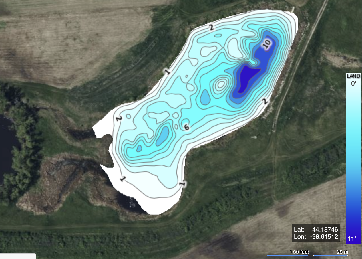
Bathymetric Mapping is a crucial tool for understanding the underwater topography of your lake or pond. Using advanced sonar technology, we create detailed maps that reveal depth variations, underwater structures, and sediment buildup. This information is essential for planning habitat enhancements, locating fish attractors, and identifying problem areas like shallow zones prone to algae growth.
Our maps provide valuable insights for optimizing lake management strategies, from aeration system placement to fishing spot identification. Whether you're managing a large reservoir or a small private pond, bathymetric mapping helps you make informed decisions to improve waterbody health and usability. With accurate data at your fingertips, you can maximize the potential of your aquatic ecosystem.


